ePrivacy and GPDR Cookie Consent management by TermsFeed Privacy Policy and Consent Generator SL TF 299 Lomo Centeno

SL TF 299 Lomo Centeno

SL-TF 299

Las Lagunetas

Difficulty: Medium

Description

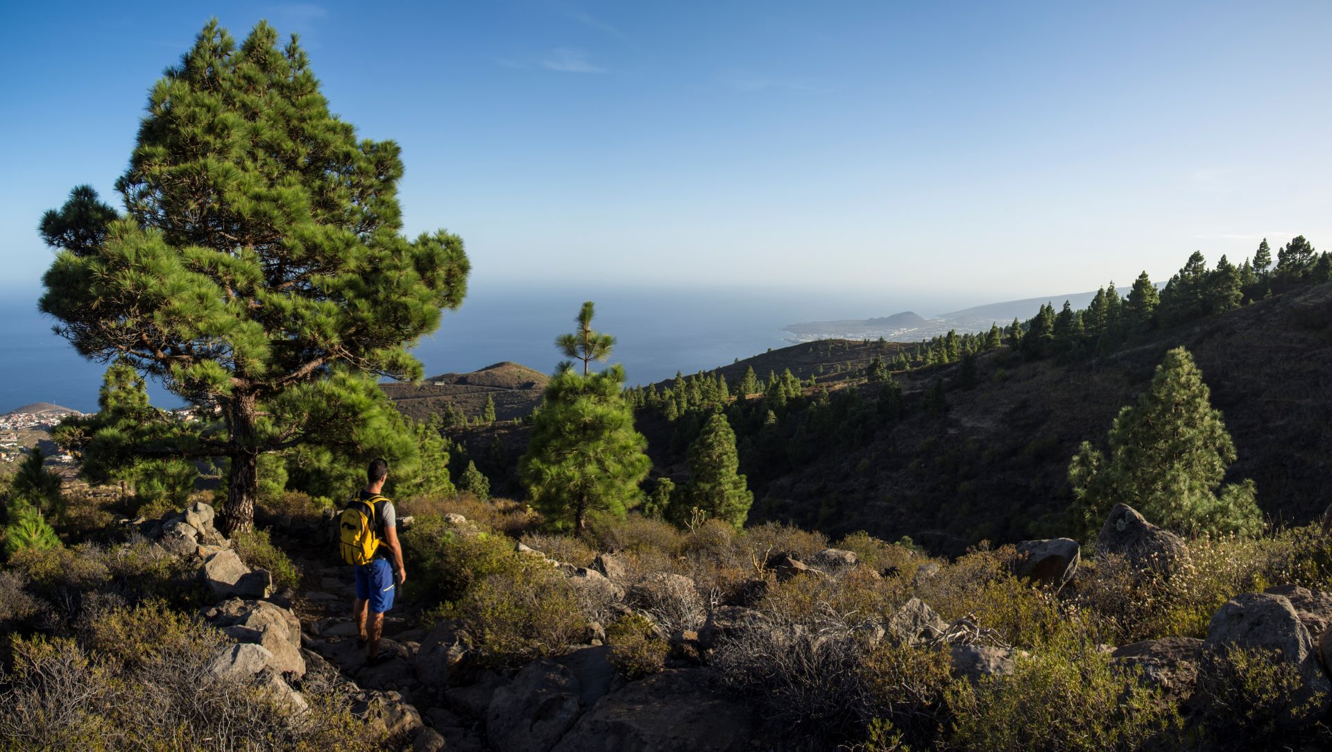
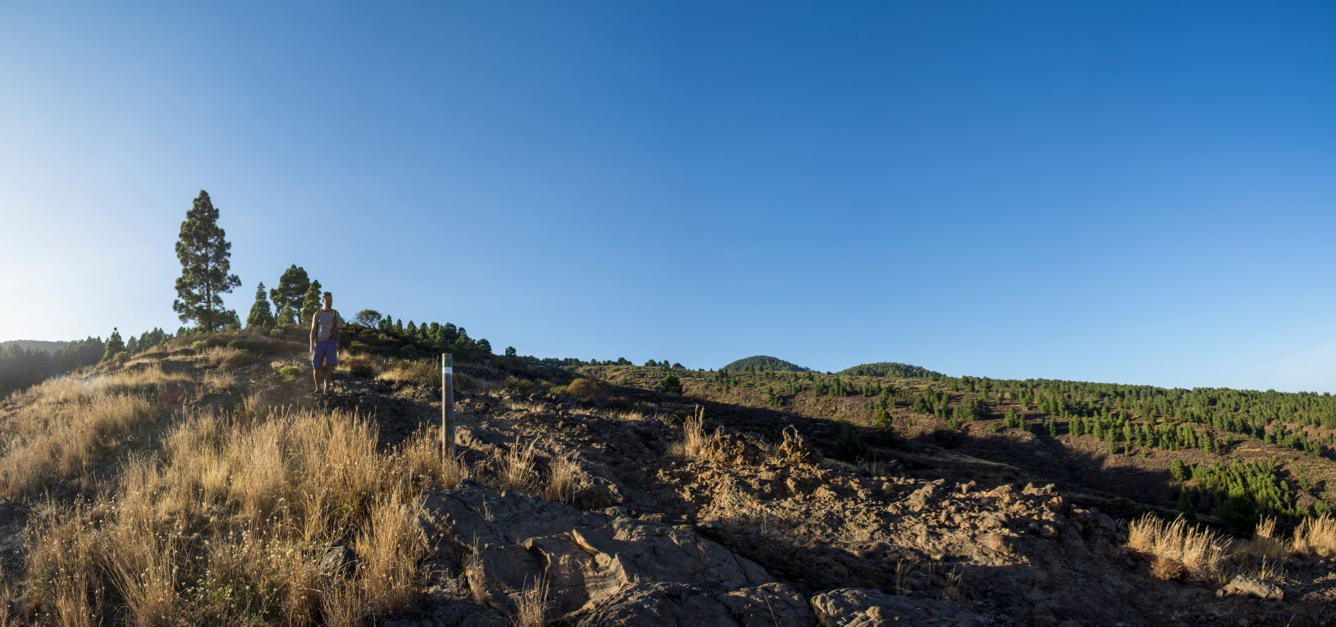
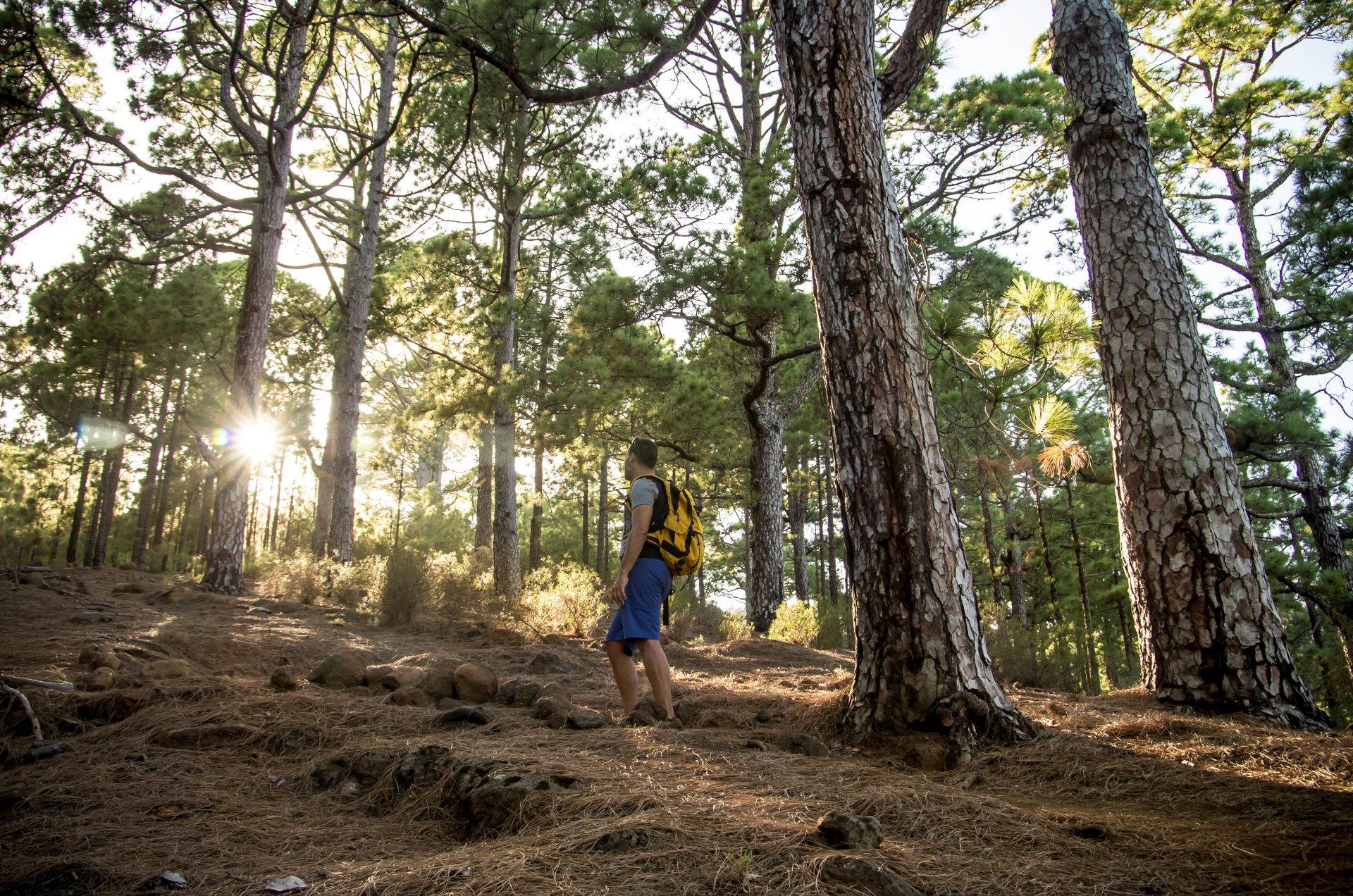
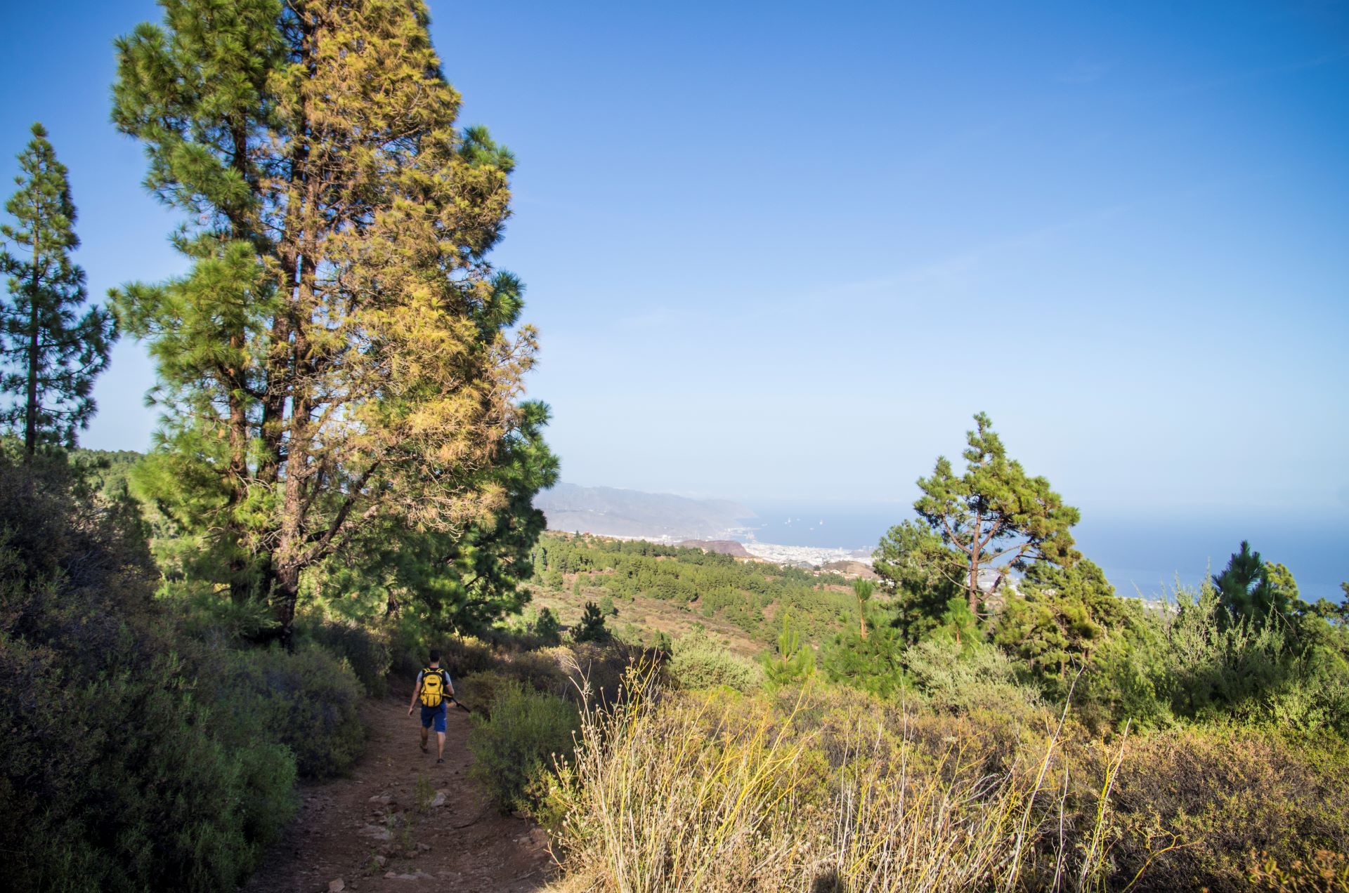
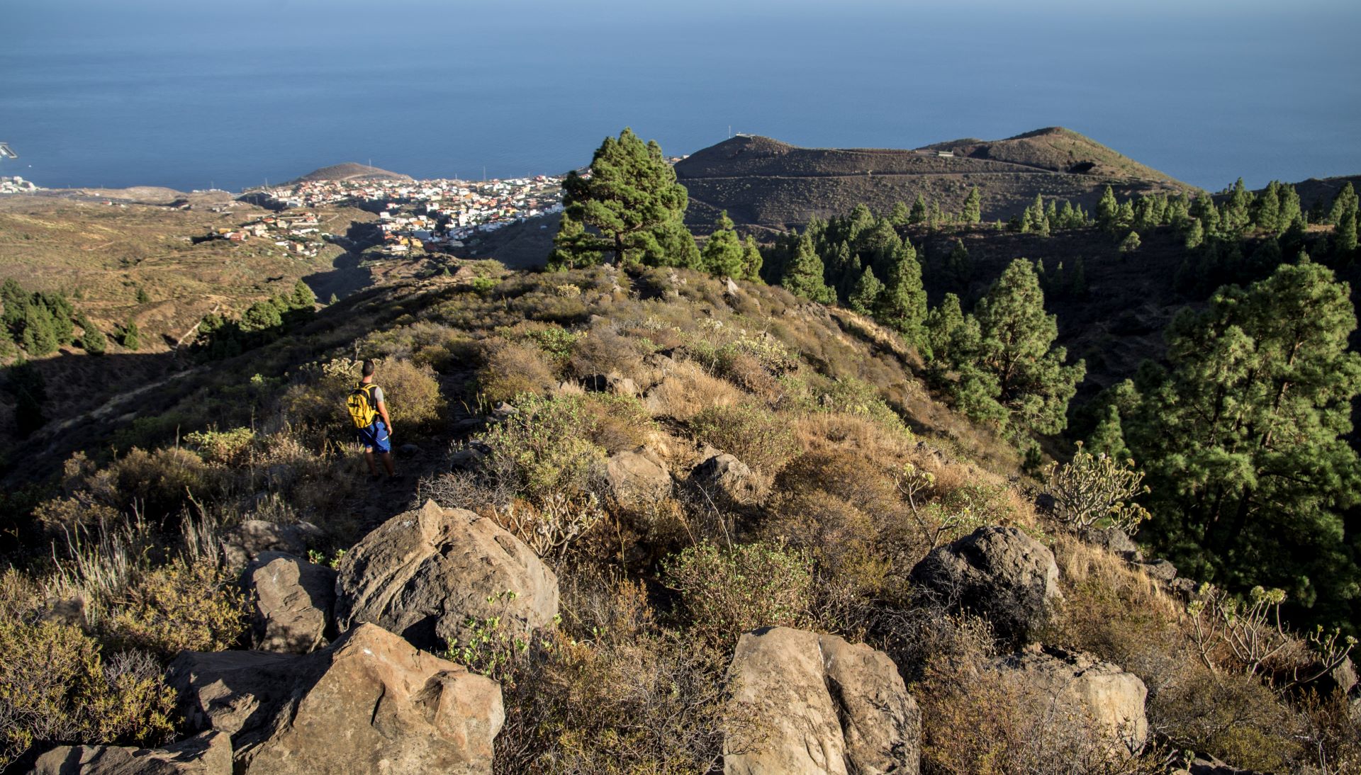
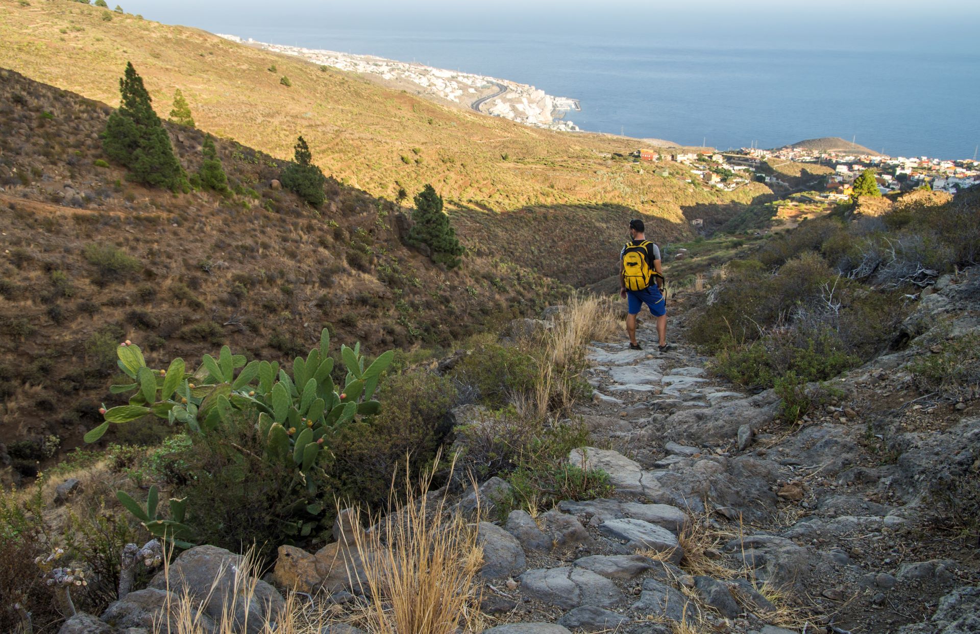
The traditional footpath that links Barranco Hondo with Las Lagunetas del Rosario takes you into the Las Lagunetas Protected Natural Area and its beautiful pine forest.

Along the way you can see the marks left by the extraction of pine tar on some of the oldest trees. You can also see some of the native and endemic species of flora and fauna typical of the mountain vegetation found in this part of the island.

In addition to forest bathing, the trail offers magnificent panoramic views of the Güímar Valley, the metropolitan area and the green mountainsides of Anaga Rural Park.

Tips

  • Always stay on the marked trail and do not enter private property, hunting grounds, water galleries, wells or caves.  
  • Pay special attention when crossing or walking along trails used by bicycles, horses or motor vehicles and when walking in ravines with water courses.
  • Avoid direct encounters with potentially dangerous animals, such as livestock, beehives, and dogs. 
  • Proceed with caution and watch for obstacles, loose rocks, uneven terrain or steep slopes to avoid accidents and falls. 
  • Check out our guide to hiking in Tenerife and, if necessary, contact the emergency services by calling 112.
  •  
Recommendations and tips

Guides

Lomo Centeno trail leaflet from the Candelaria Town Council.

Permits

  • [TEMPORARY MEASURE] Free access without authorisation or reservation for natural or legal entities of a public or private nature, both non-profit (town councils, schools, associations, clubs, etc.) and for-profit (active tourism companies), until 31 December 2024 as established in the Resolution.
  • Free access for all other visitors, no reservation required.
  • Email for enquiries - This email address is being protected from spambots. You need JavaScript enabled to view it.
More information

Technical information sheet

Route information

Walking route

Tenerife ON

Linear

5,45 km

2 h 30 m *

Check your fitness level

  • Altitude gain:1.065,20 m

  • Altitude loss:71,97 m

  • Maximum altitude:1.412,46 m

  • Minimum altitude:419,23 m

Signage

Route code

SL-TF 299

Posts and signs displaying the SL code and green and white marks.

Signage

Route map and profile

Elevation profile

Difficulty

Medium *MIDE safe mountain criteria

  • Maximum altitude:1.412,46 m

  • Minimum altitude:419,23 m

Connections with other routes

How to get to route start point

Iglesia de Barranco Hondo, Calle La Pi, número 87, Barranco Hondo.

Bus number 142 stop 350 metres from the route, Cruz los Cantos bus stop code 1139. TITSA.

Parking spaces available in the village.

How to get to route end point

Carretera General de La Esperanza (TF-24), kilómetro 16,5, Las Lagunetas, El Rosario.

Public transport not available. Consult private bus service between La Laguna and La Esperanza (Transportes La Esperanza, 922 548 080).

Very limited parking spaces in the centre of Las Lagunetas.

Municipalities passed through

  • Candelaria

Weather

Today, friday, in Candelaria


Clouds
Wind

2 km/h

Temperature

24ºC Maximum

21ºC Minimum

Rain

0%

3 day forecast

saturday

25ºC Maximum

21ºC Minimum

sunday

25ºC Maximum

22ºC Minimum

monday

24ºC Maximum

22ºC Minimum