ePrivacy and GPDR Cookie Consent management by TermsFeed Privacy Policy and Consent Generator SL TF 296.1 Barranco El Rincón

SL TF 296.1 Barranco El Rincón

SL-TF 296.1

Valle de Güímar

Difficulty: Low

Description

This short, pleasant trail of just 1.4 km connects the Las Cuevecitas neighbourhood with the other routes of the Local Trails Network of Candelaria.

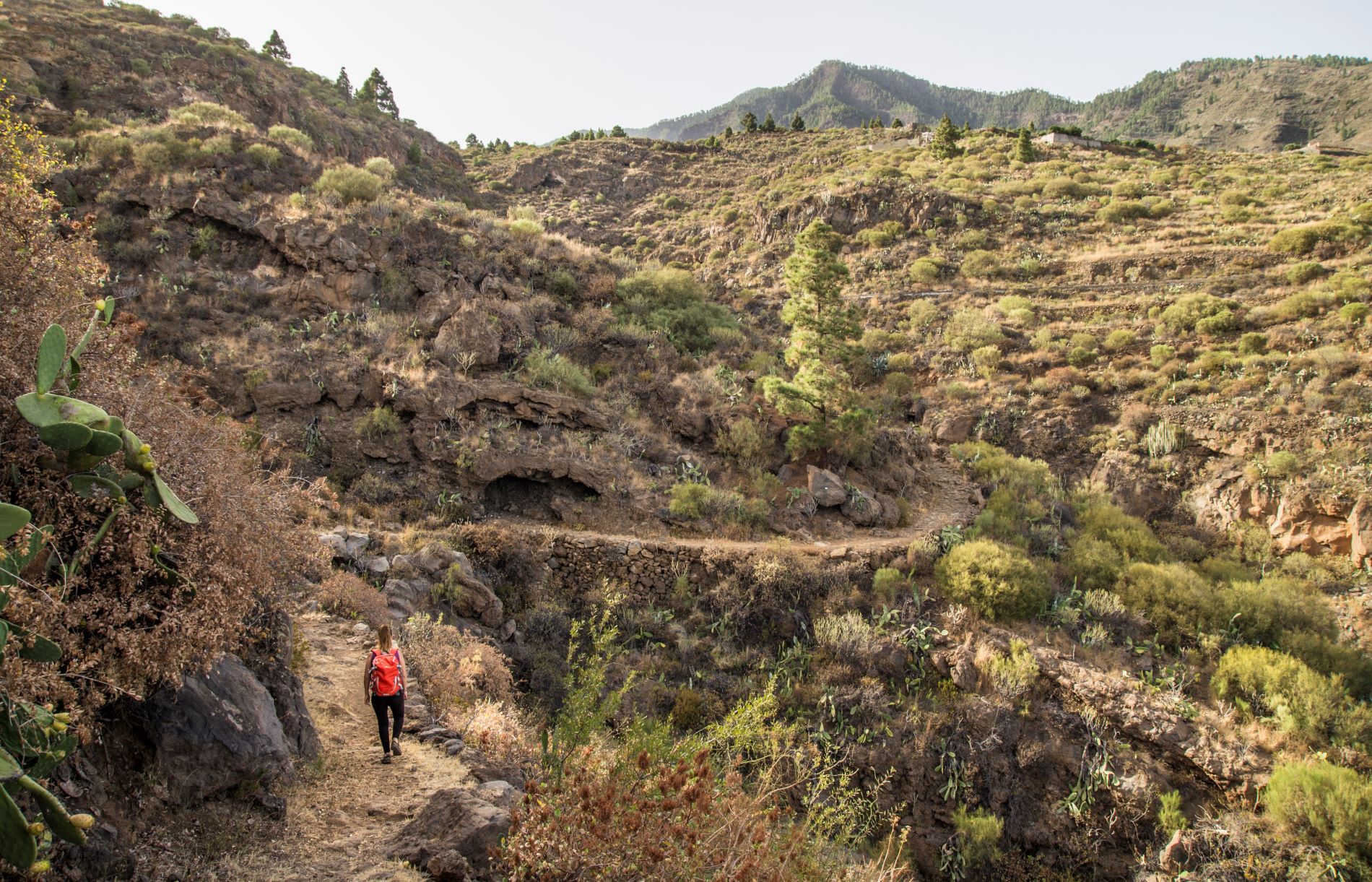
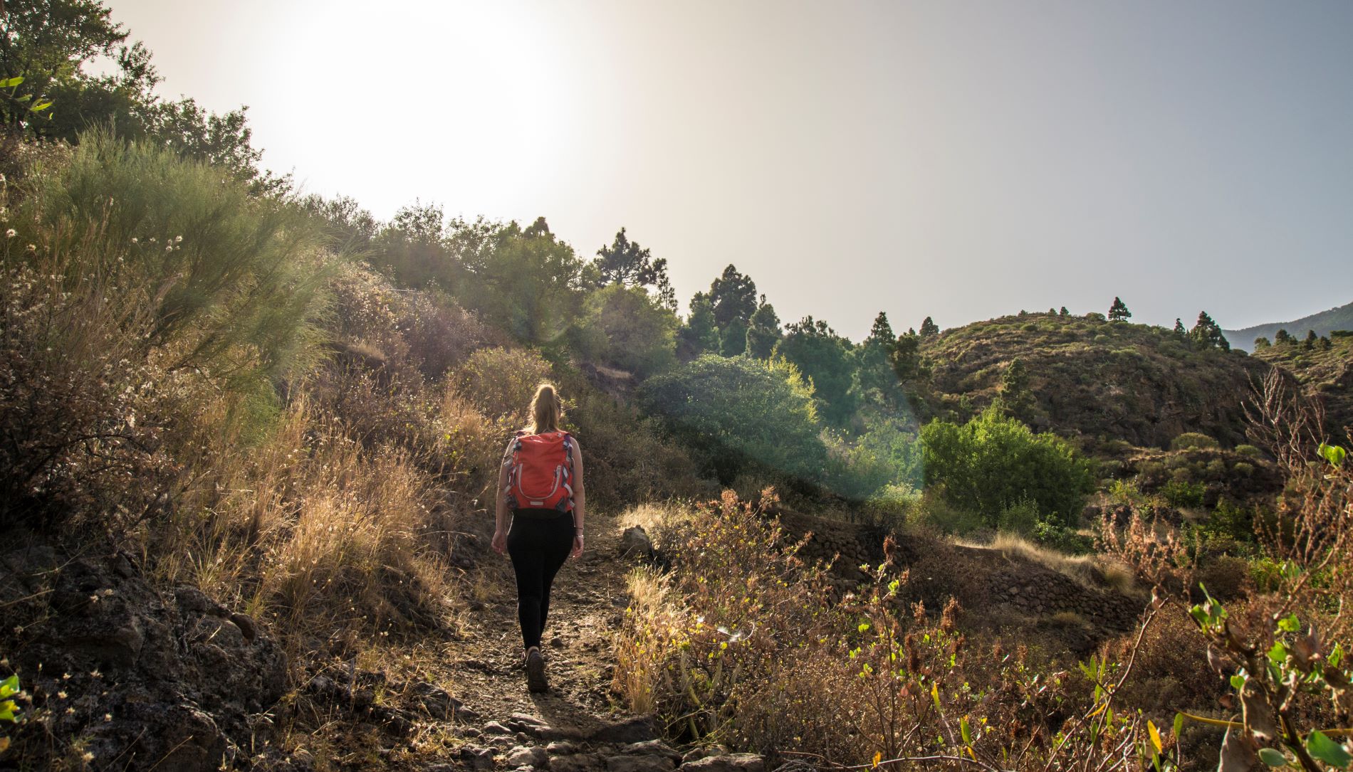
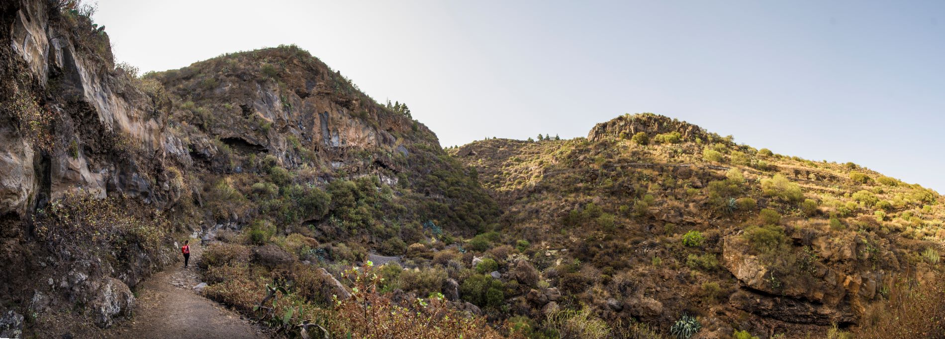
The trail sets off from Plaza de las Cuevecitas and takes Calle La Hoya to head towards the Barranco de El Rincón ravine along a narrow, winding path that traces the features of the landscape.

Once you reach the ravine, the path starts to climb, crossing several tracks, including the one that connects the El Rincón gallery with the village of Araya.

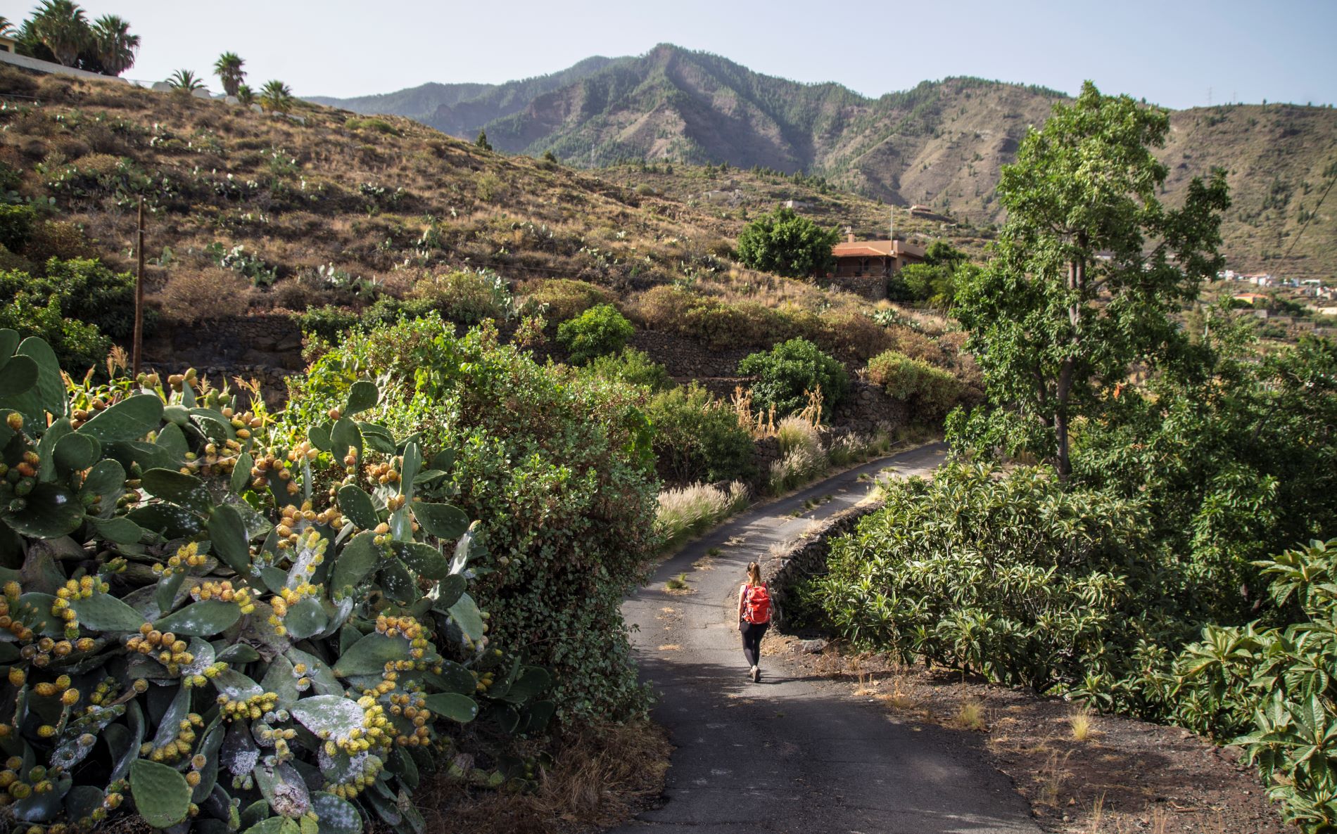
The trail then narrows again and continues over a compact dirt track, paved at some points, running parallel to a water channel.

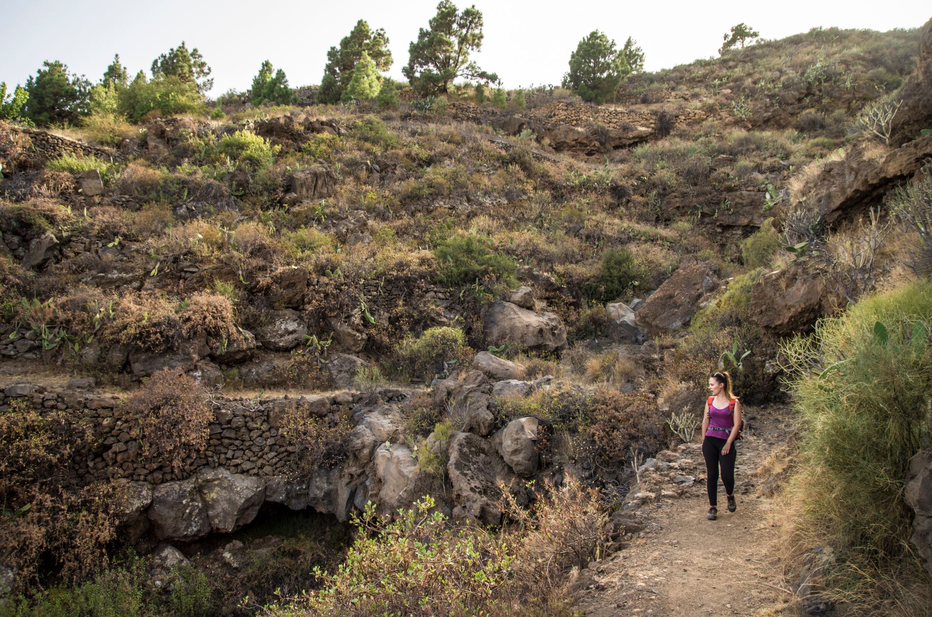
The last stretch of the route crosses an area of abandoned terraces, which bear witness to the extensive agricultural activity in the area in the 20th century.

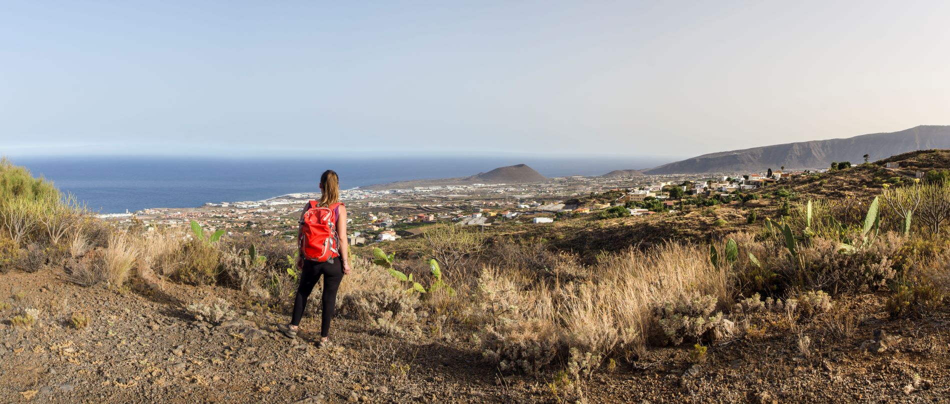
When you reach Cruz del Camino at the end of the trail, you can continue hiking as the path links up with the Los Brezos loop trail (SL TF 294) or the La Mesa trail (SL TF 296).

This trail is approved in accordance with Decree 11/2005, of 15 February, which created the Canary Island Network of Trails and regulates the conditions for the organisation, approval and conservation of the trails of the Autonomous Community of the Canary Islands, which means that these trails are officially designated as footpaths for sports, tourism or recreational use in nature.

Tips

  • Always stay on the marked trail and do not enter private property, hunting grounds, water galleries, wells or caves.  
  • Pay special attention when crossing or walking along trails used by bicycles, horses or motor vehicles and when walking in ravines with water courses.
  • Avoid direct encounters with potentially dangerous animals, such as livestock, beehives, and dogs. 
  • Proceed with caution and watch for obstacles, loose rocks, uneven terrain or steep slopes to avoid accidents and falls. 
  • Check out our guide to hiking in Tenerife and, if necessary, contact the emergency services by calling 112.
Recommendations and tips

Guides

No data available

Permits

  • [TEMPORARY MEASURE] Free access without authorisation or reservation for natural or legal entities of a public or private nature, both non-profit (town councils, schools, associations, clubs, etc.) and for-profit (active tourism companies), until 31 December 2024 as established in the Resolution.
  • Free access for all other visitors, no reservation required.
  • Email for enquiries - This email address is being protected from spambots. You need JavaScript enabled to view it.
More information

Technical information sheet

Route information

Walking route

Tenerife ON

Linear

1,40 km

0 h 50 m

139,90 m

71,69 m

One way with fitness level 3/5

  • Altitude gain:139,90 m

  • Altitude loss:71,69 m

  • Maximum altitude:468,50 m

  • Minimum altitude:391,75 m

Signage

Route code

SL-TF 296.1

Posts and signs displaying the SL code and green and white marks.

Signage

Route map and profile

Elevation profile

Difficulty

Low *MIDE safe mountain criteria

  • Maximum altitude:468,50 m

  • Minimum altitude:391,75 m

Connections with other routes

How to get to route start point

Calle La Hoya, intersection with Calle San Andrés, Las Cuevecitas, Candelaria.

Possibility of private transport if you contact the Candelaria Town Council shared taxi company.

Parking spaces available in the town.

How to get to route end point

Cruz del Camino, Calle la Morrita, Araya.

Possibility of private transport if you contact the Candelaria Town Council shared taxi company.

Parking spaces limited in the village.

Municipalities passed through

  • Candelaria

Weather

Today, saturday, in Candelaria


Clouds
Wind

7 km/h

Temperature

24ºC Maximum

20ºC Minimum

Rain

0%

3 day forecast

sunday

24ºC Maximum

21ºC Minimum

monday

25ºC Maximum

21ºC Minimum

tuesday

26ºC Maximum

22ºC Minimum