ePrivacy and GPDR Cookie Consent management by TermsFeed Privacy Policy and Consent Generator SL TF 294.1 El Moralito

SL TF 294.1 El Moralito

SL-TF 294.1

Valle de Güímar

Difficulty: Low

Description

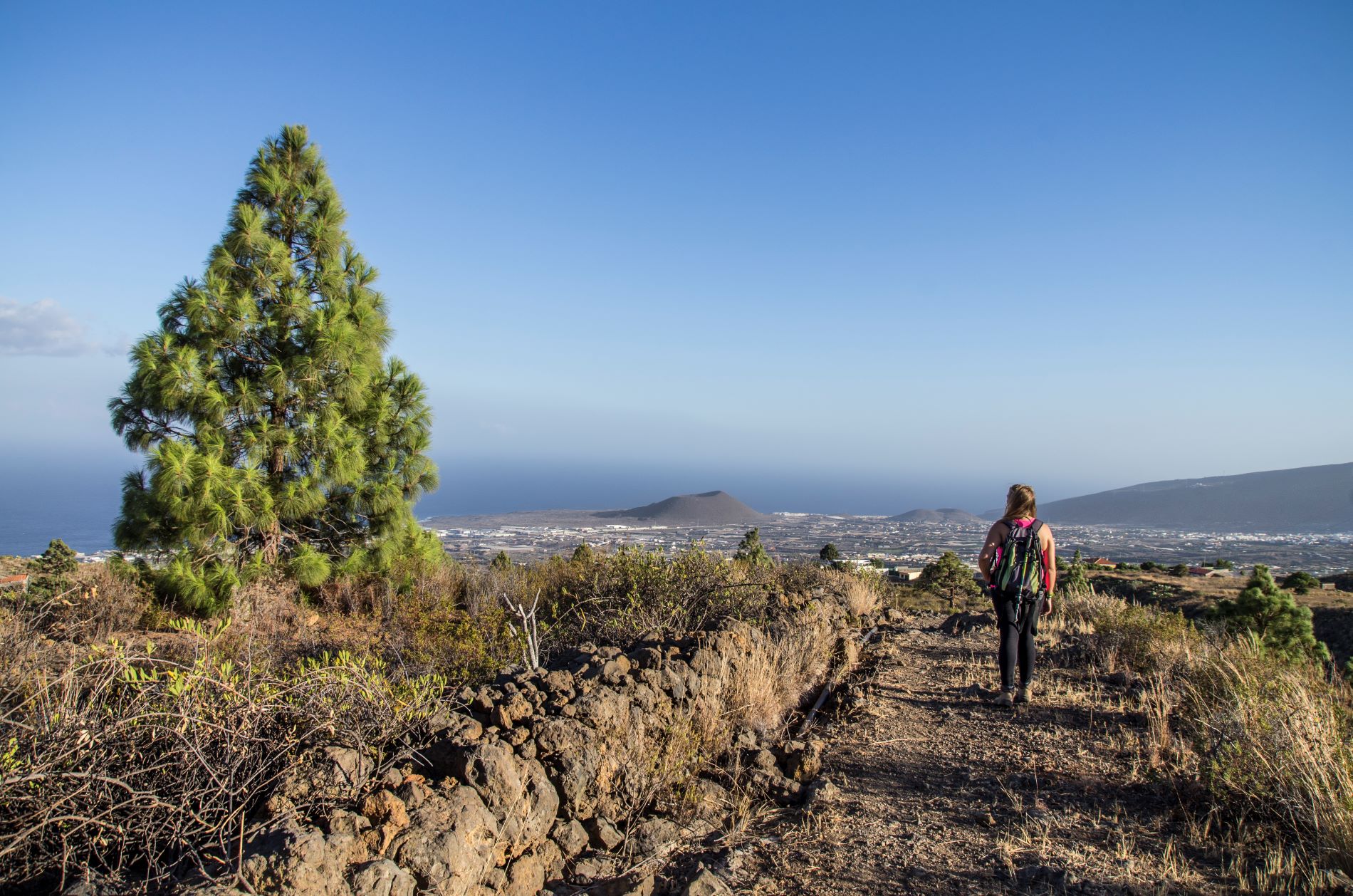
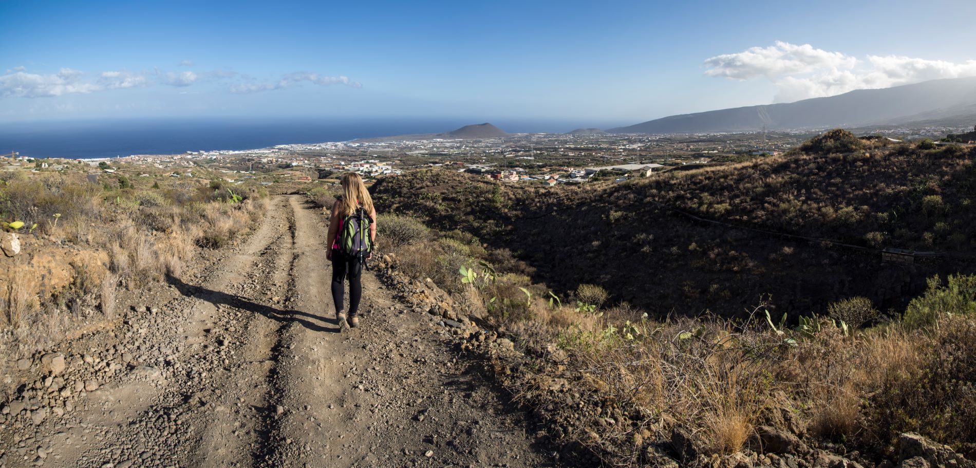
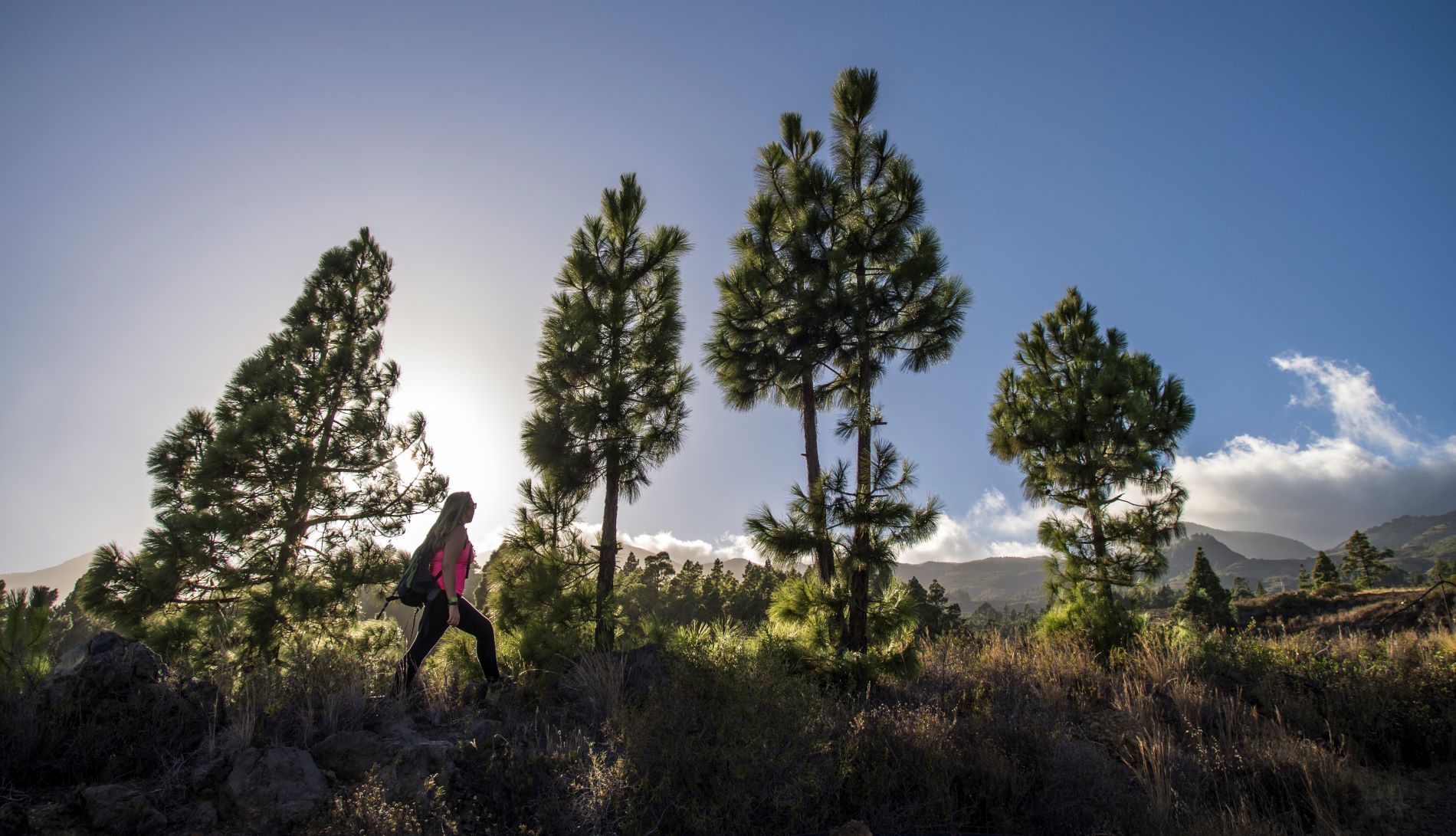
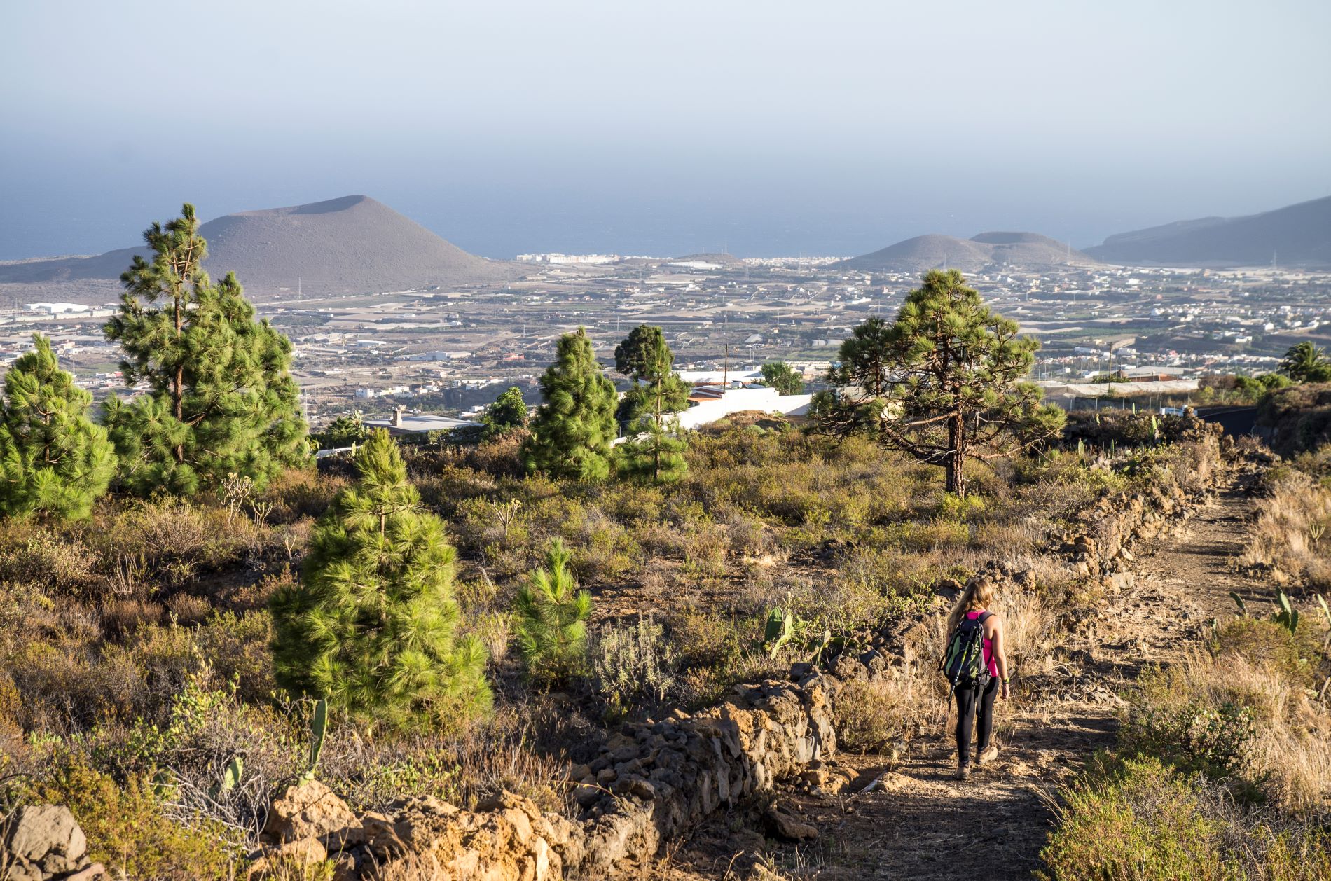
This short, pleasant trail of just 2.6 km connects the centre of Malpaís with the other routes of the Local Trails Network of Candelaria.

The path starts at Plaza de Malpaís and ends at Charca del Pino, taking in alternating stretches of tarmac and dirt tracks.

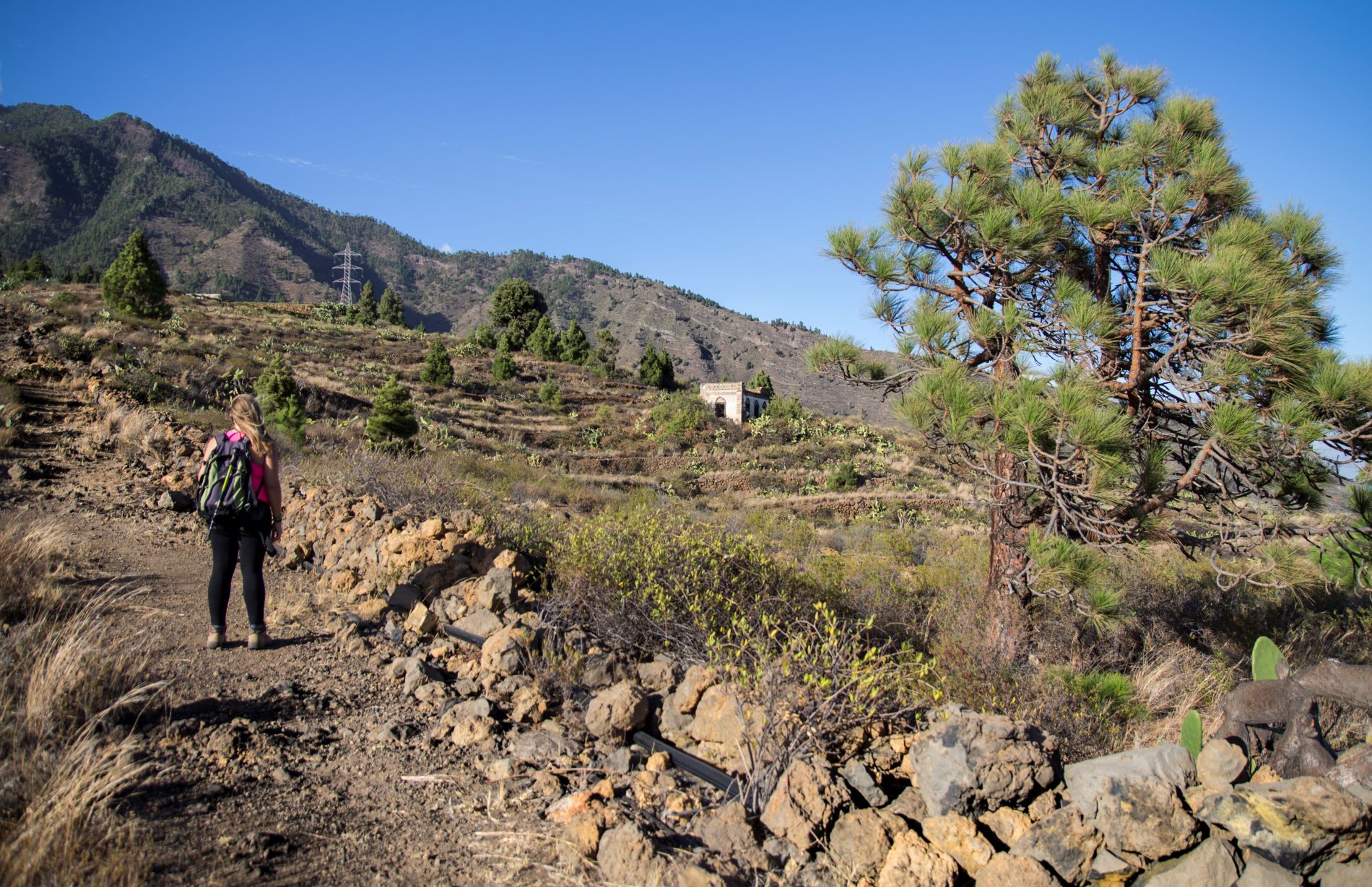
Once at Charca del Pino you can see the remains of an old house next to a threshing floor and a stone oven. Here you can join the Los Brezos loop trail (SL TF 294) heading towards the village of Araya, towards Piedras de Carcho via El Luchón if you turn left, or towards Barranco la Gotera if you go to the right.

This trail is approved in accordance with Decree 11/2005, of 15 February, which created the Canary Island Network of Trails and regulates the conditions for the organisation, approval and conservation of the trails of the Autonomous Community of the Canary Islands, which means that these trails are officially designated as footpaths for sports, tourism or recreational use in nature.

Tips

  • Always stay on the marked trail and do not enter private property, hunting grounds, water galleries, wells or caves.  
  • Pay special attention when crossing or walking along trails used by bicycles, horses or motor vehicles and when walking in ravines with water courses.
  • Avoid direct encounters with potentially dangerous animals, such as livestock, beehives, and dogs. 
  • Proceed with caution and watch for obstacles, loose rocks, uneven terrain or steep slopes to avoid accidents and falls. 
  • Check out our guide to hiking in Tenerife and, if necessary, contact the emergency services by calling 112.
Recommendations and tips

Guides

No data available

Permits

  • [TEMPORARY MEASURE] Free access without authorisation or reservation for natural or legal entities of a public or private nature, both non-profit (town councils, schools, associations, clubs, etc.) and for-profit (active tourism companies), until 31 December 2024 as established in the Resolution.
  • Free access for all other visitors, no reservation required.
  • Email for enquiries - This email address is being protected from spambots. You need JavaScript enabled to view it.
More information

Technical information sheet

Route information

Walking route

Tenerife ON

Linear

2,51 km

1 h 40 m

321,22 m

83,48 m

Solo ida con forma física 3/5

  • Altitude gain:321,22 m

  • Altitude loss:83,48 m

  • Maximum altitude:644,65 m

  • Minimum altitude:351,55 m

Signage

Route code

SL-TF 294.1

Posts and signs displaying the SL code and green and white marks.

Signage

Route map and profile

Elevation profile

Difficulty

Low *MIDE safe mountain criteria

  • Maximum altitude:644,65 m

  • Minimum altitude:351,55 m

Connections with other routes

How to get to route start point

Parroquia San Antonio, Calle San Antonio 67, Malpaís, Candelaria.

Possibility of private transport if you contact the Candelaria Town Council shared taxi company.

Parking spaces available in the village.

How to get to route end point

Charca del Pino, Calle Las Hermosas, Candelaria.

No public transport in the area.

No parking spaces available.

Municipalities passed through

  • Candelaria

Weather

Today, saturday, in Candelaria


Clouds
Wind

7 km/h

Temperature

24ºC Maximum

20ºC Minimum

Rain

0%

3 day forecast

sunday

24ºC Maximum

21ºC Minimum

monday

25ºC Maximum

21ºC Minimum

tuesday

26ºC Maximum

22ºC Minimum