ePrivacy and GPDR Cookie Consent management by TermsFeed Privacy Policy and Consent Generator SL TF 151.2 Ruigómez - El Tanque - El Tanque Bajo - La Atalaya

SL TF 151.2 Ruigómez - El Tanque - El Tanque Bajo - La Atalaya

SL-TF 151.2

Chinyero

Difficulty: Medium

Description

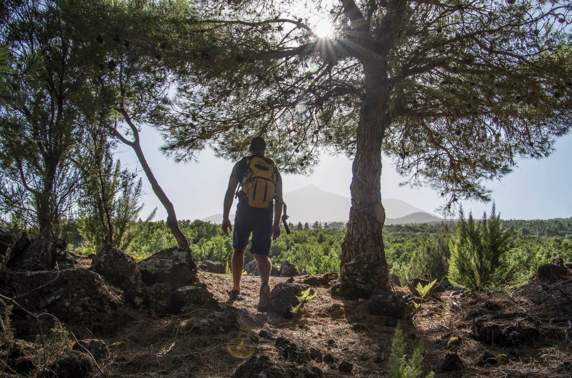
This trail crosses the municipality of El Tanque from south to north and immerses you in the Chinyero Special Nature Reserve, offering you unbeatable views.

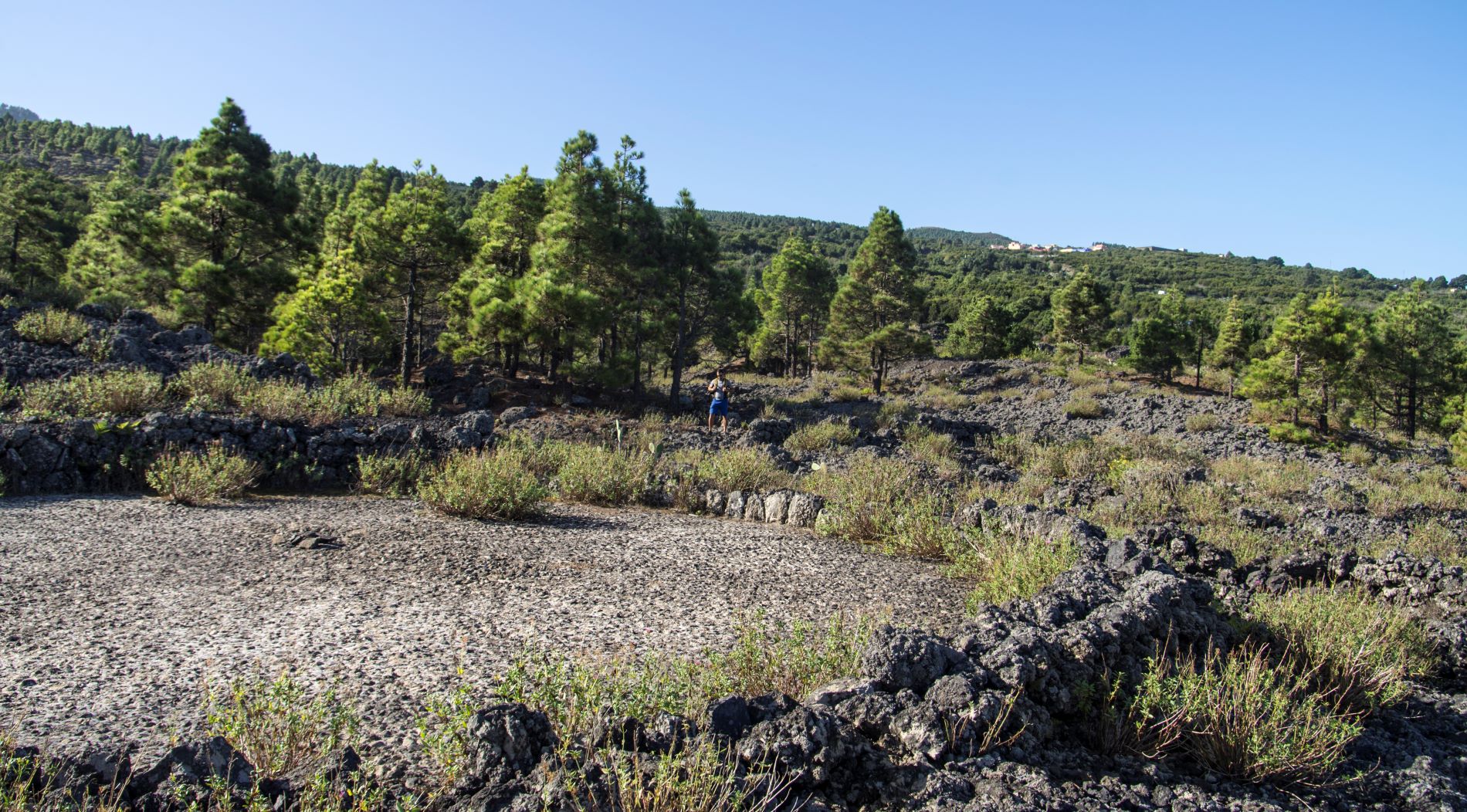
The route begins on a track that heads through the farmland of Ruigómez in the direction of the Chinyero Special Nature Reserve.

Shortly after, you will reach Casa Canales, a former tenant farmer’s house that still conserves its threshing floor, built on the lava flows, and an ingenious system for collecting and storing rainwater.

If you follow these lava flows you will reach Barrio Nuevo, where you can admire the “Eras del Volcán” threshing floors, one of El Tanque’s most prized heritage sites. 

The route continues towards the centre of the municipality, passing in front of the Town Hall and then takes you to the historic old town.

Halfway between Plaza de la Iglesia de San Antonio de Padua and the Atalaya viewpoint, you can see the remains of the old reservoir walls which, as well as supplying water to the whole area, gave its name to the municipality: El Tanque.

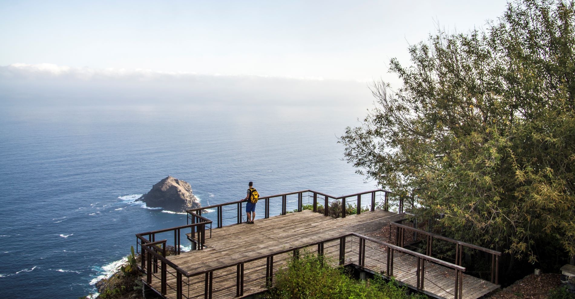
At the end of the route, after a swift and short final descent, you will reach the spectacular Atalaya viewpoint, on the border with Garachico, where you can enjoy unforgettable panoramic views of the north of the island.

Tips

  • Always stay on the marked trail and do not enter private property, hunting grounds, water galleries, wells or caves.  
  • Pay special attention when crossing or walking along trails used by bicycles, horses or motor vehicles and when walking in ravines with water courses.
  • Avoid direct encounters with potentially dangerous animals, such as livestock, beehives, and dogs. 
  • Proceed with caution and watch for obstacles, loose rocks, uneven terrain or steep slopes to avoid accidents and falls. 
  • Check out our guide to hiking in Tenerife and, if necessary, contact the emergency services by calling 112.
Recommendations and tips

Guides

No data available

Permits

  • [TEMPORARY MEASURE] Free access without authorisation or reservation for natural or legal entities of a public or private nature, both non-profit (town councils, schools, associations, clubs, etc.) and for-profit (active tourism companies), until 31 December 2024 as established in the Resolution.
  • Free access for all other visitors, no reservation required.
  • Email for enquiries - This email address is being protected from spambots. You need JavaScript enabled to view it.
More information

Technical information sheet

Route information

Walking route

Tenerife ON

Linear

6,08 km

2 h 35 m *

Check your fitness level

  • Altitude gain:75,60 m

  • Altitude loss:594,87 m

  • Maximum altitude:909,77 m

  • Minimum altitude:365,82 m

Signage

Route code

SL-TF 151.2

Posts and signs displaying the SL code and green and white marks.

Signage

Route map and profile

Elevation profile

Difficulty

Medium *MIDE safe mountain criteria

  • Maximum altitude:909,77 m

  • Minimum altitude:365,82 m

Connections with other routes

How to get to route start point

Corner of Calle San Isidro and Calle Santa Rosalía, Ruigómez.

Bus numbers 325, 392 and 460, Erjos bus stop code 4665. TITSA

Parking spaces available in the village. 

How to get to route end point

Atalaya Viewpoint, Calle de la Atalaya, 2, El Tanque.

No public transport service in the area.

No parking spaces in the area.

Municipalities passed through

  • El Tanque
  • Garachico

Protected Areas

Transit

Reserva Natural Especial del Chinyero

The Chinyero Special Nature Reserve is located on the Abeque ridge, one of the three volcanic rifts on the island and the most active at present. Two historical eruptions have taken place here: ...

Discover the Protected Area
Reserva Natural Especial del Chinyero

Transit

Paisaje Protegido Acantilados de La Culata

This set of cliffs sits 20m high at Garachico and 600m in the area around Tierra del Trigo in Los ...

Discover the Protected Area
Paisaje Protegido Acantilados de La Culata

Weather

Today, friday, in El Tanque


Clear skies
Wind

6 km/h

Temperature

22ºC Maximum

17ºC Minimum

Rain

0%

3 day forecast

saturday

23ºC Maximum

19ºC Minimum

sunday

24ºC Maximum

20ºC Minimum

monday

23ºC Maximum

19ºC Minimum