ePrivacy and GPDR Cookie Consent management by TermsFeed Privacy Policy and Consent Generator Bolico Trail (Medium)

Bolico Trail (Medium)

Macizo de Teno

Difficulty: Medium

Description

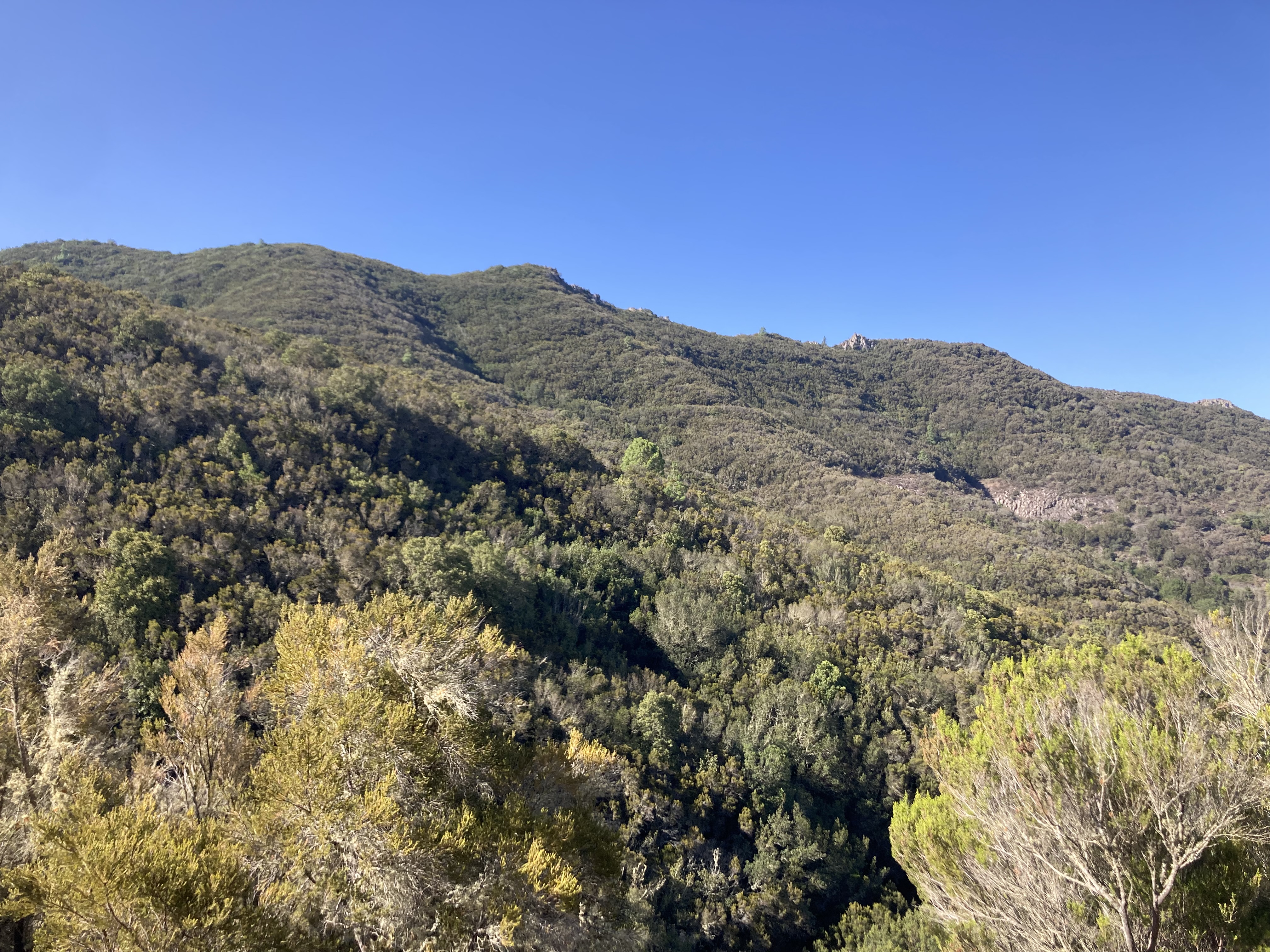
The Bolico medium trail immerses you in the natural splendour of Teno Rural Park on a walk of approximately one and a half hours. It is easily accessible and provides you with the opportunity to plunge deep into one of the most representative ecosystems of the area: monteverde woodland.

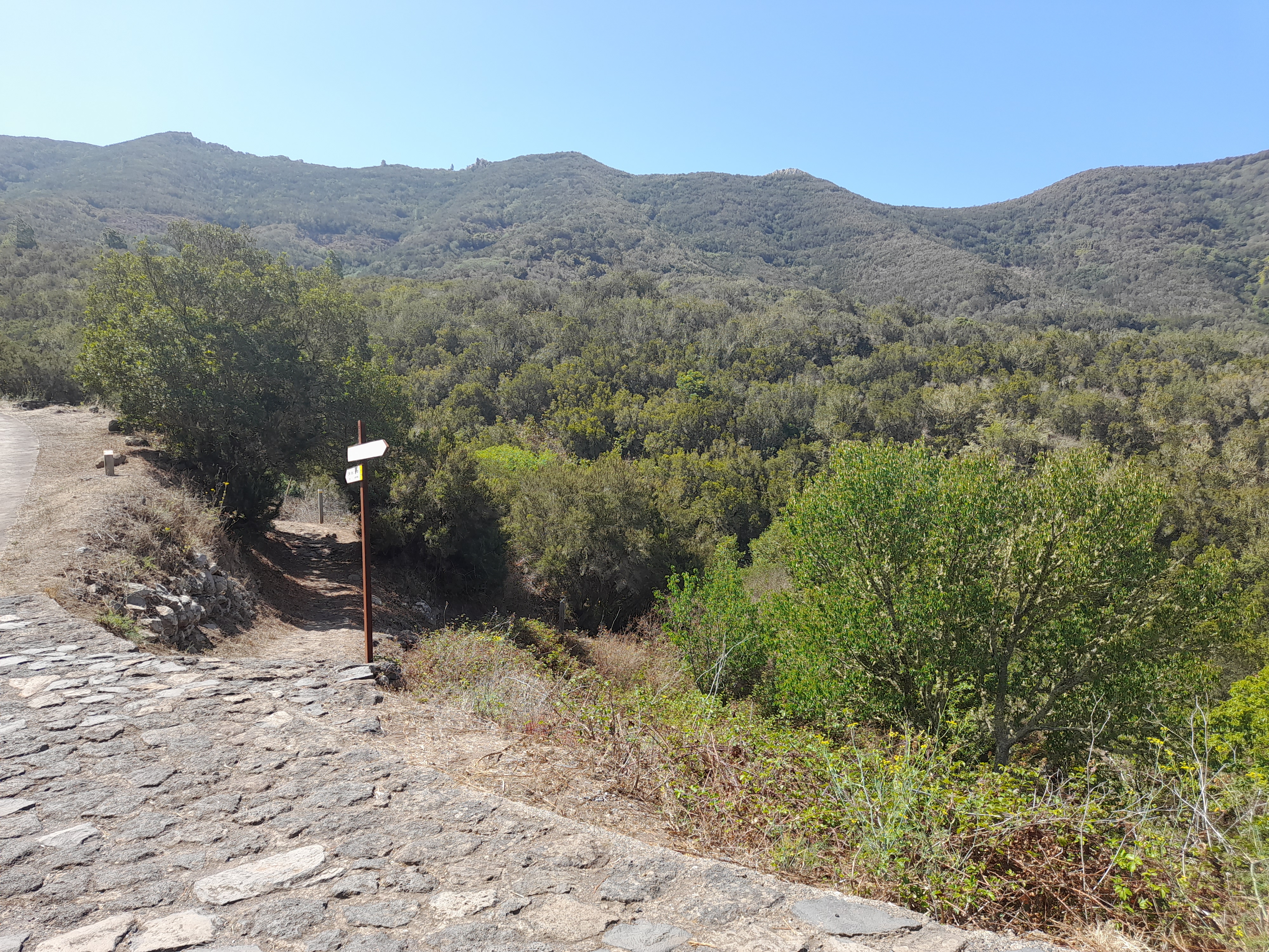
The route starts at the car park near the Bolico hostel, a perfect starting point to discover the rich biodiversity of the park.

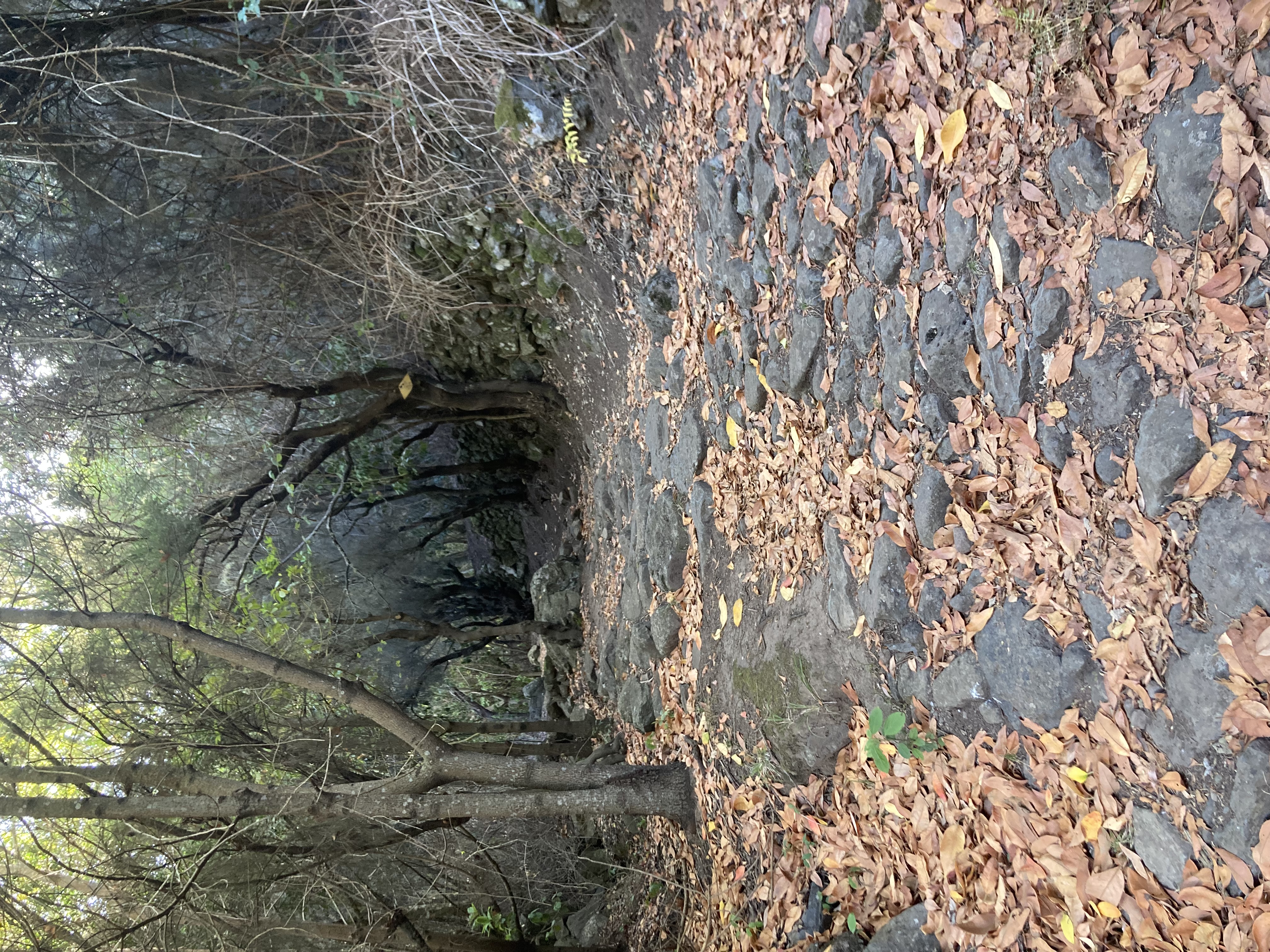
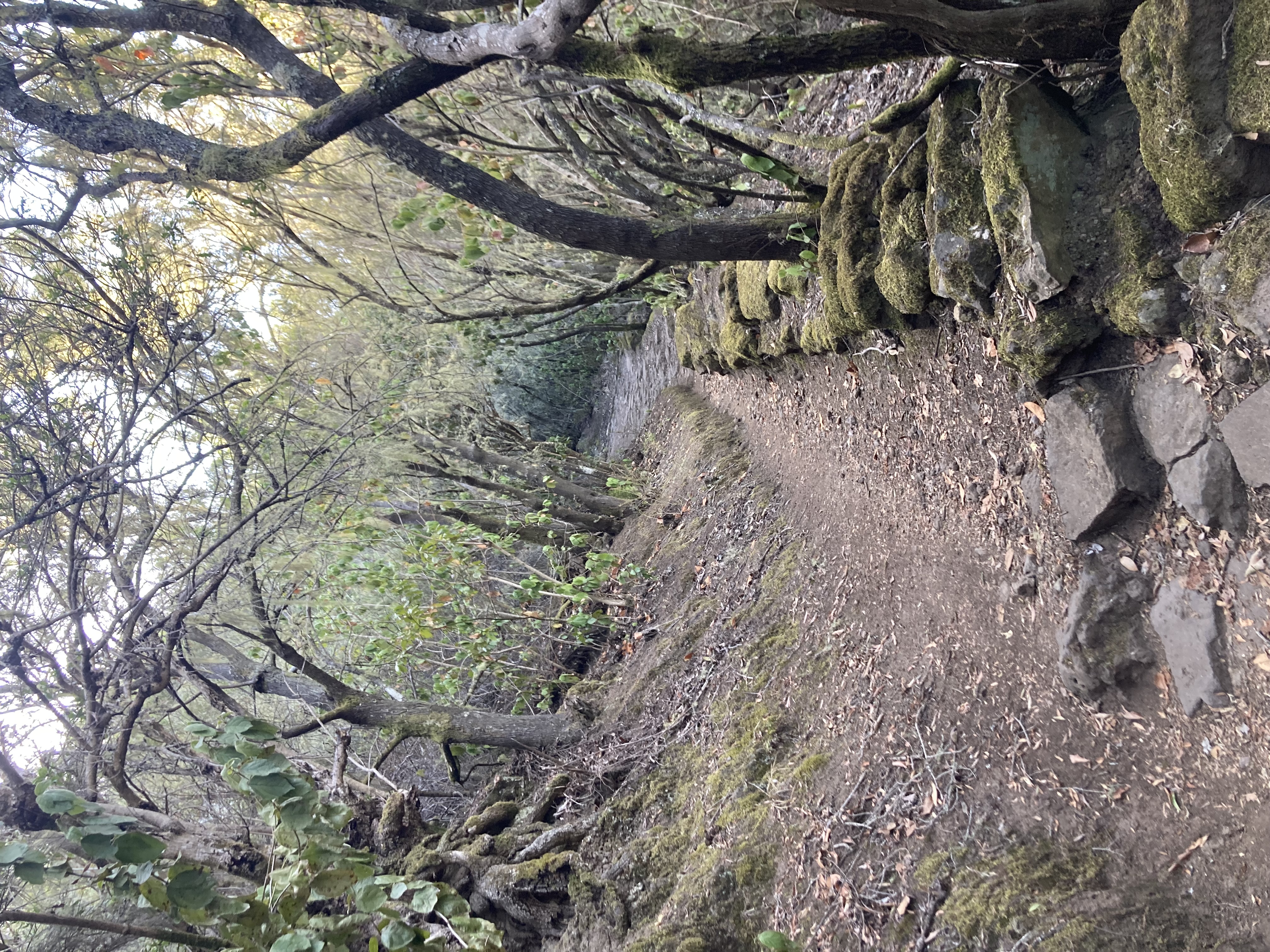
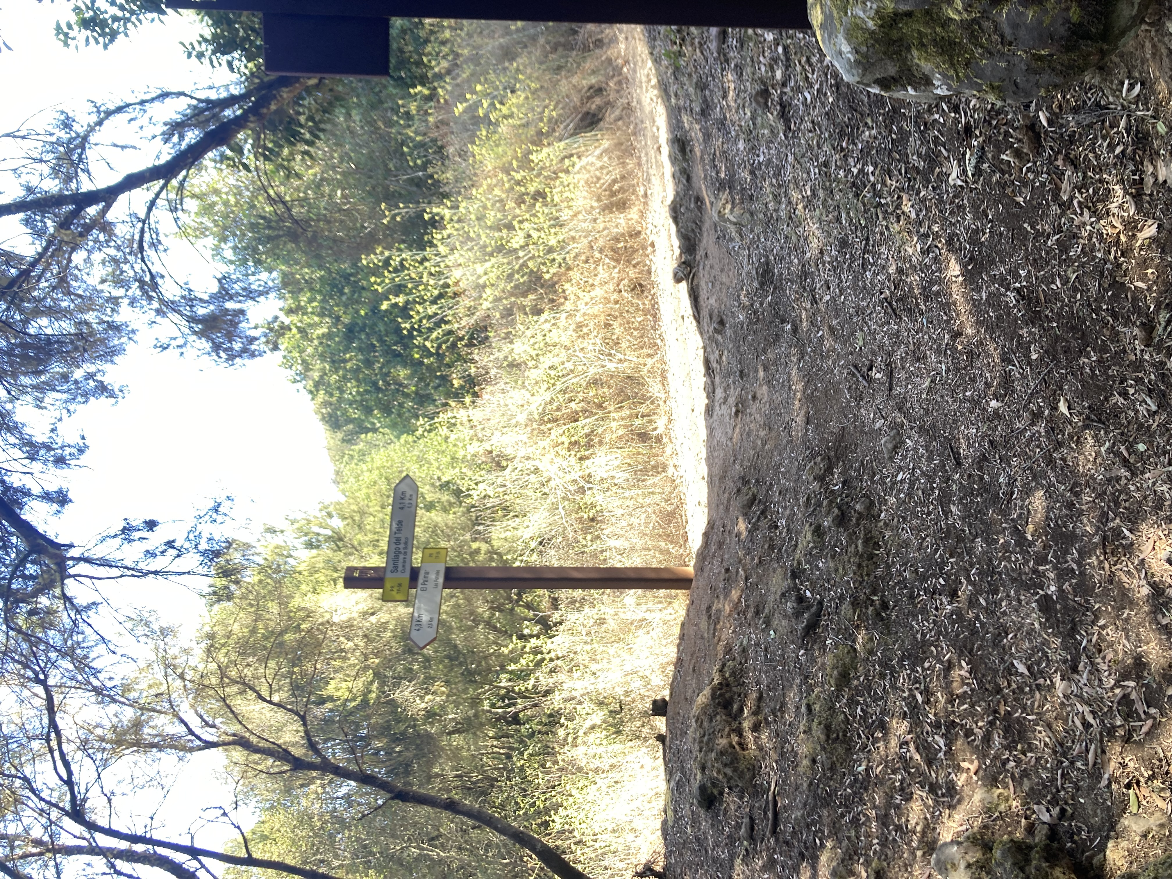
It continues with a steep initial ascent and then turns right onto the PR-TF 56 trail. The path continues to climb along a scenic stone-lined path until it meets Pista de Bolico. Turn left onto this track, which will take you gently downhill to the starting point through beautiful mountain landscapes and panoramic views of the surrounding area. Take care with sections of loose stones on this last part of the route to avoid slipping. 

Tips

  • Always stay on the marked trail and do not enter private property, hunting grounds, water galleries, wells or caves.  
  • Pay special attention when crossing or walking along trails used by bicycles, horses or motor vehicles and when walking in ravines with water courses.
  • Avoid direct encounters with potentially dangerous animals, such as livestock, beehives, and dogs.
  • Proceed with caution and watch for obstacles, loose rocks, uneven terrain or steep slopes to avoid accidents and falls.
  • Check out our guide to hiking in Tenerife and, if necessary, contact the emergency services by calling 112.
Recommendations and tips

Guides

No data available

Permits

  • [TEMPORARY MEASURE] Free access without authorisation or reservation for natural or legal entities of a public or private nature, both non-profit (town councils, schools, associations, clubs, etc.) and for-profit (active tourism companies), until 31 December 2024 as established in the Resolution.
  • Free access for all other visitors, no reservation required.
  • Email for enquiries - This email address is being protected from spambots. You need JavaScript enabled to view it.
More information

Technical information sheet

Route information

Walking route

Tenerife ON

Circular

3,67 km

1 h 45 m *

Check your fitness level

  • Altitude gain:294,16 m

  • Altitude loss:294,16 m

  • Maximum altitude:1.070,01 m

  • Minimum altitude:802,06 m

Signage

The first section is marked as PR TF 56, as they coincide. The return via the northern route is not signposted, but there is a clearly visible trail

Signage

Route map and profile

Elevation profile

Difficulty

Medium *MIDE safe mountain criteria

  • Maximum altitude:1.070,01 m

  • Minimum altitude:802,06 m

Connections with other routes

How to get to route start point

Parking near the hostel (“Albergue de Bolico”), in front of the water tank (before reaching the entrance gate of the hostel), in Camino Charco las Portelas, Las Portelas.

No public transport service in the area.

Parking spaces very limited at the start of the trail.

How to get to route end point

Parking near the hostel (“Albergue de Bolico”), in front of the water tank (before reaching the entrance gate of the hostel), in Camino Charco las Portelas, Las Portelas.

No public transport service in the area.

Parking spaces very limited at the start of the trail.

Municipalities passed through

  • Buenavista del Norte

Protected Areas

Transit

Parque Rural de Teno

Teno Rural Park is located in north-west Tenerife, in one of the first parts of the island to emerge from the sea, containing materials that are between 6 and 7 million years old.  Erosion has ...

Discover the Protected Area
Parque Rural de Teno

Weather

Today, wednesday, in Buenavista del Norte


Clouds
Wind

3 km/h

Temperature

24ºC Maximum

23ºC Minimum

Rain

271%

3 day forecast

thursday

24ºC Maximum

23ºC Minimum

friday

24ºC Maximum

22ºC Minimum

saturday

24ºC Maximum

22ºC Minimum