ePrivacy and GPDR Cookie Consent management by TermsFeed Privacy Policy and Consent Generator Montaña Grande Loop Trail

Montaña Grande Loop Trail

Malpaís de Güímar

Difficulty: Medium

Description

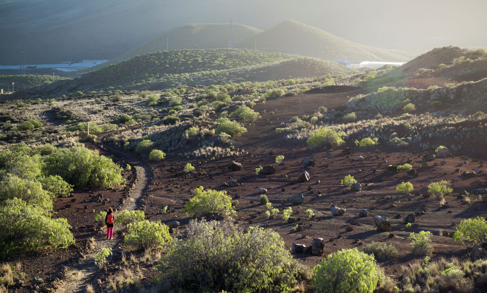
This trail takes you around Montaña Grande, an imposing 276-metre high volcanic cone that formed in an eruption that took place less than 10,000 years ago.

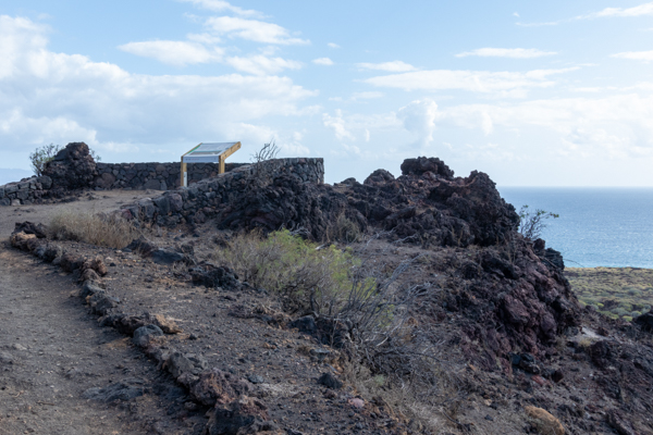
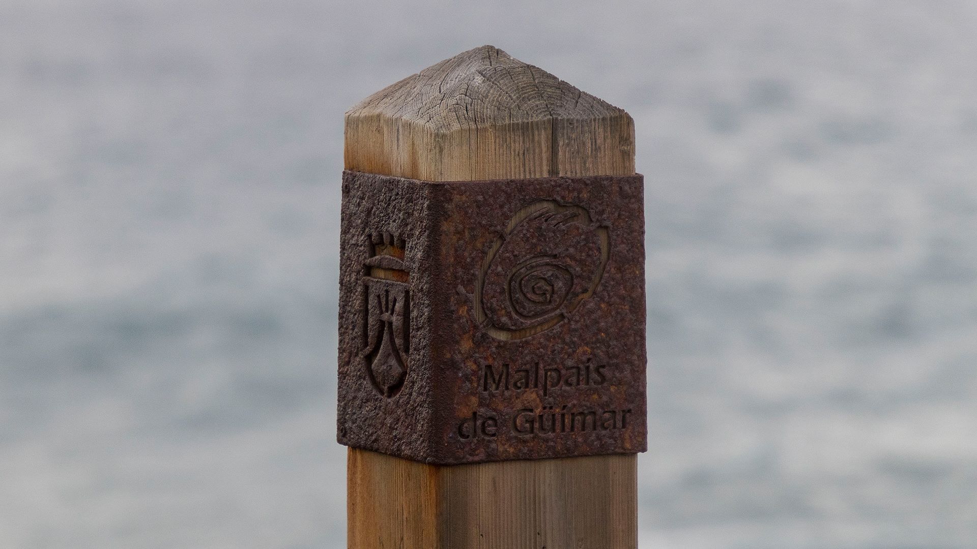
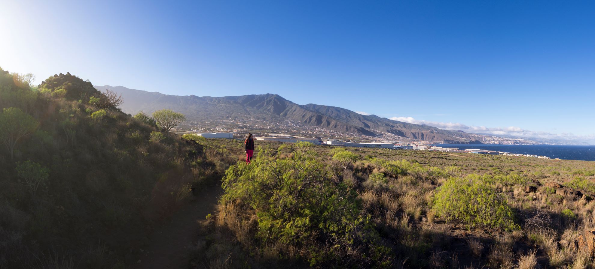
This evocative volcano is notable for its asymmetrical profile and is located within the Malpaís de Güímar Special Nature Reserve, an area of great ecological importance due to its natural diversity and the presence of endemic species.

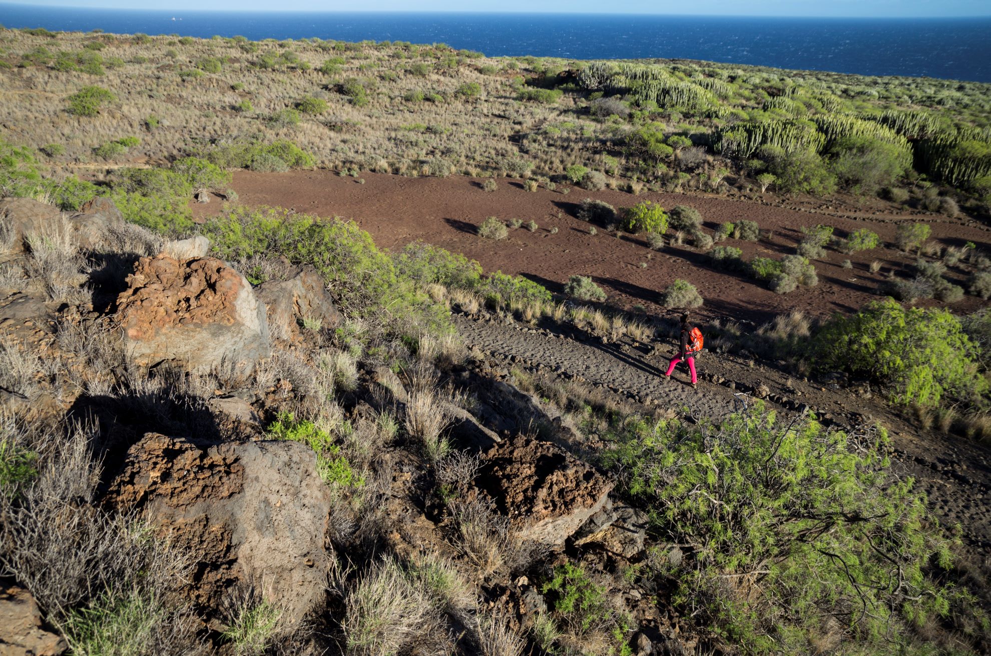
The route takes you through thick stands of cardón or Canary Island spurge (Euphorbia canariensis) and tabaiba (Euphorbia balsamifera, Euphorbia lamarckii), plants that are a typical feature of the volcanic areas of the Canary Islands. You will also find balo (Plocama pendula), a plant that has developed an extensive root system that enables it to reach water deep underground, an adaptation that makes it ideal for surviving the conditions of the malpaís volcanic landscape.

We recommend you take the route at your own pace, stopping at the viewpoint to admire the lava flows, the tracts of sandy terrain and the flora that dominates the landscape. Exploring this part of the Nature Reserve at a leisurely pace will allow you to gradually discover its beauty and to enjoy a pleasant walk in a unique setting.

If you wish, halfway along the walk you can link up with the Camino de Samarines trail that will take you to Puertito de Güímar.

Tips

  • Always stay on the marked trail and do not enter private property, hunting grounds, water galleries, wells or caves.  
  • Pay special attention when crossing or walking along trails used by bicycles, horses or motor vehicles and when walking in ravines with water courses.
  • Avoid direct encounters with potentially dangerous animals, such as livestock, beehives, and dogs.
  • Proceed with caution and watch for obstacles, loose rocks, uneven terrain or steep slopes to avoid accidents and falls.
  • Check out our guide to hiking in Tenerife and, if necessary, contact the emergency services by calling 112.
Recommendations and tips

Guides

No data available

Permits

  • Organized groups (educational centers, associative entities, or companies) must obtain prior authorization from the Central Reservation Office of the Tenerife Island Council to use this trail.
  • Free access for all other visitors, no reservation required.
  • Email for enquiries - This email address is being protected from spambots. You need JavaScript enabled to view it.
More information

Technical information sheet

Route information

Walking route

Tenerife ON

Circular

3,68 km

1 h 0 m *

Check your fitness level

  • Altitude gain:73,95 m

  • Altitude loss:73,95 m

  • Maximum altitude:121,46 m

  • Minimum altitude:81,47 m

Signage

Wooden and metal signs with the logo of the Cabildo and the Malpaís de Güímar Special Nature Reserve with a range of information.

Signage

Route map and profile

Elevation profile

Difficulty

Medium *MIDE safe mountain criteria

  • Maximum altitude:121,46 m

  • Minimum altitude:81,47 m

Connections with other routes

How to get to route start point

Pista del Socorro, El Carretón, Güímar.

Bus numbers 111, 120 and 711, Camino del Socorro bus stop code 7121. TITSA

Parking spaces available in the nearby industrial estate.

How to get to route end point

Pista del Socorro, El Carretón, Güímar.

Bus numbers 111, 120 and 711, Camino del Socorro bus stop code 7121. TITSA

Parking spaces available in the nearby industrial estate.

Municipalities passed through

  • Güímar

Protected Areas

Transit

Reserva Natural Especial del Malpaís de Güímar

The Malpaís de Güímar is one of the most popular spots in the south of Tenerife. Its volcanic cone stands out along the motorway linking the capital with the south of the island, and at its ...

Discover the Protected Area
Reserva Natural Especial del Malpaís de Güímar

Weather

Today, wednesday, in Güímar


Clouds
Wind

1 km/h

Temperature

23ºC Maximum

21ºC Minimum

Rain

498%

3 day forecast

thursday

22ºC Maximum

18ºC Minimum

friday

22ºC Maximum

18ºC Minimum

saturday

23ºC Maximum

18ºC Minimum

Places of interest

These are some of the points of interest you can find along this route.

Rock

Morras del Corcho viewpoint

This viewpoint is at the foot of the mountain and offers unequalled views of the malpaís...