


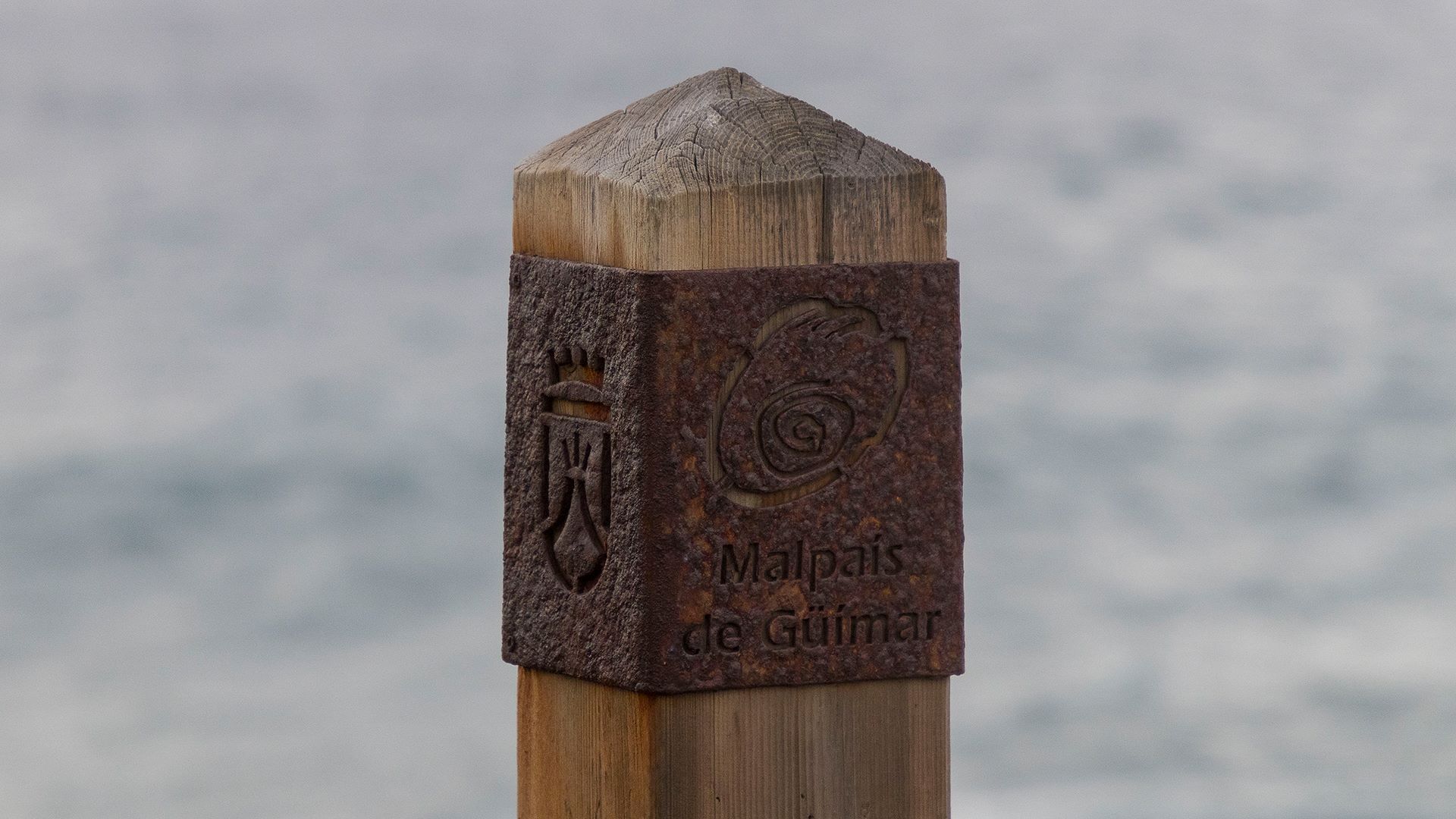
Description
This fascinating trail, surrounded by lava flows, connects the Montaña Grande trail to the east with Punta de los Picos, on the Camino de la Mar trail.
The route begins by skirting the great volcanic cone of Montaña Grande, where you will be able to appreciate both the unique geology of the place and its vegetation, adapted to extreme arid, saline conditions. The path will take you past plant species such as balo (Plocama pendula), tabaiba (Euphorbia balsamifera, Euphorbia lamarckii) and cardón or Canary Island spurge (Euphorbia canariensis). In addition, with a bit of luck, you may cross paths with a Tenerife lizard, kestrels soaring overhead or Berthelot’s pipits scurrying to and fro.
When you leave the towering volcano behind you, you will enter the sandy part of the malpaís landscape, formed by sands that are blown inland by the wind from Socorro beach. Here, the most common plant species are aulaga (Launaea arborescens) and cerrillo (Hyparrhenia hirta). Along this stretch, you can also see the remains of old farm terraces, testimony to the area’s agricultural past.
When you reach Punta de los Picos, you will be rewarded with a breathtaking view of the rugged coastline. From here you can choose to turn around and return to the starting point or take Camino de la Mar and continue to the left, towards Playa del Socorro, a coastal village known for the pilgrimage (romería) that bears the same name, or to the right, towards Puertito de Güímar, another charming seaside setting.
Tips
- Always stay on the marked trail and do not enter private property, hunting grounds, water galleries, wells or caves.
- Pay special attention when crossing or walking along trails used by bicycles, horses or motor vehicles and when walking in ravines with water courses.
- Avoid direct encounters with potentially dangerous animals, such as livestock, beehives, and dogs.
- Proceed with caution and watch for obstacles, loose rocks, uneven terrain or steep slopes to avoid accidents and falls.
- Check out our guide to hiking in Tenerife and, if necessary, contact the emergency services by calling 112.
Guides
No data available


